Earth’s Cryosphere, 2022, Vol. XXV, No. 5, p. 36-46
 THE STUDY OF SEASONAL VERTICAL CHANGES OF GROUND SURFACE IN THE POLAR URAL FOOTHILLS BASED ON FIELD MEASUREMENTS AND ALOS PALSAR RADAR INTERFEROMETRY
V.V. Elsakov, D.A. Kaverin, V.M. Shchanov
Institute of Biology, Komi Science Centre UrB RAS, Kommunisticheskya str. 28, Syktyvkar, 167982, Russia; elsakov@ib.komisc.ru, dkav@mail.ru, shchanov@ib.komisc.ru
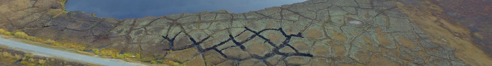
Interferometric pairs of ALOS PALSAR dataset (2007–2010) were used to estimate the seasonal and long-term variations in the ground surface height in the piedmont of the Polar Ural, the far northeast of European Russia. The obtained results were validated by ground-truth measurements at the CALM R2 site (active layer thickness monitoring site). The values and amplitude of ground surface height variations obtained from the satellite imagery were lower compared to field measurements. The sites under study were classified in two conditional groups: more drained sites (confined to the upper parts of the moraine ridges) and sites with higher moisture content in the soil (lower parts of the slopes). This classification was based on the intensity of seasonal changes in the height of ground surface during the vegetation period of 2007. Significant correlations between in situ and remote sensing-based measurements were established for these groups. The convergence of the results increased with a greater number of in situ measurements inside the pixel of the satellite image. The greatest differences in the magnitude of vertical movements of ground surface were reported in the years with contrasting weather conditions (2007 and 2010). Ground surface subsidence was reported to be greater (up to 1.5–4.5 cm) during the colder and wetter vegetation period of 2010, and less pronounced in a drier and warmer season of 2007 (0–3.0 cm) within tundra zones of the Pechora Lowland. A summer heave of ground surface was noted (up to 2–3 cm) in sites with moraine deposits in the piedmont plains for the whole period of observations.
Differential radar interferometry, piedmont landscapes of the Polar Ural, ground subsidence and heave