Earth’s Cryosphere, 2021, Vol. XXV, No. 6, p. 34-41.
 THE INVENTORY OF RETROGRESSIVE THAW SLUMPS (THERMOCIRQUES) IN THE NORTH OF WEST SIBERIA BASED ON 2016–2018 SATELLITE IMAGERY MOSAIC
N.B. Nesterova1, A.V. Khomutov1,2, M.O. Leibman1,2, T.A. Safonov1, N.G. Belova2,3
1 Tyumen State University, Volodarskogo str. 6, Tyumen, 625003, Russia; n.b.nesterova@utmn.ru
2 Earth Cryosphere Institute, Tyumen Scientific Centre SB RAS, Malygina str. 86, Tyumen, 625026, Russia; akhomutov@gmail.com
3 Lomonosov Moscow State University, Faculty of Geography, Leninskiye Gory 1, Moscow, 119991, Russia; belova@geogr.msu.ru
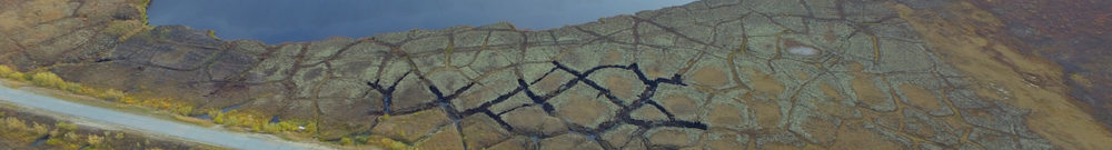
Remote sensing methods of retrogressive thaw slumps (RTS) – also called thermocirques (TC) – study include identification of them on vast territories. The satellite imagery mosaics from the Yandex.Maps service covering the Yamal and Gydan peninsulas was innovatively used for this purpose. All RTS (TC) that occurred at the lake coasts were classified as either active or stabilized, the orientation of each RTS (TC) was determined. We identified 86 active and 20 stabilized RTS in the Yamal peninsula and 224 active and 109 stabilized RTS in Gydan. The distribution of RTS orientation was found to be not random. Multiple comparisons of RTS orientation over cardinal compass points showed a statistically significant predominance of the Northern RTS orientation over the Eastern, as well as the Western orientation over the Eastern. At the same time, none of the orientations showed statistically significant predominance over the others. No statistically significant relationship between RTS orientation and RTS activity was found.
Thermodenudation, thermocirques, retrogressive thaw slumps, remote sensing, statistics, Yamal, Gydan, Yandex.Maps.