Earth’s Cryosphere, 2022, Vol. XXVI, No. 1, p. 47-54
 GEORADAR STUDIES OF GROUND ICE IN THE COMPLEX OF ENGINEERING AND GEOLOGICAL SURVEYS
D.V. Kopylov1,2, M.R. Sadurtdinov2, S.Yu. Yanin1
1 Tyumen Petroleum Research Center, P.O.B. 747, Tyumen, 625000 Russia
2 Earth Cryosphere Institute, Tyumen Scientific Centre Siberian Branch of the Russian Academy of Sciences, Malygina str. 86, Tyumen, 625026 Russia; kopylovdmitr@yandex.ru
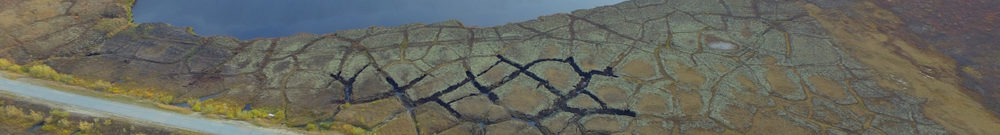
The results of ground-penetrating radar studies within the set of engineering and geological surveys at the site of designing a well pad in the oil and gas field in the area of continuous permafrost are considered. Drilling of geological wells with core sampling showed the presence of an ice-ground lens with the ice content of up to 90 %. Comparison of the drilling results and the characteristic wave pattern on georadar sections made it possible to identify the zone of anomalous changes in soil properties and interpret it as an ice-ground lens. High-amplitude diffractions of an electromagnetic wave are seen at the ice-ground/peat boundary, which, according to the authors, is associated with the presence of ice wedges. With the help of attribute analysis, the ice-ground lens has been was contoured and its approximate volume has been calculated.
Attribute analysis, ground penetrating radar, geotechnical surveys, permafrost zone, ice-ground lens